TroutRoutes: Trout Fishing App
- 3.3
- Rating
- 100.00K
- Installs
- Free
- Price

 Analysis by App-foxy
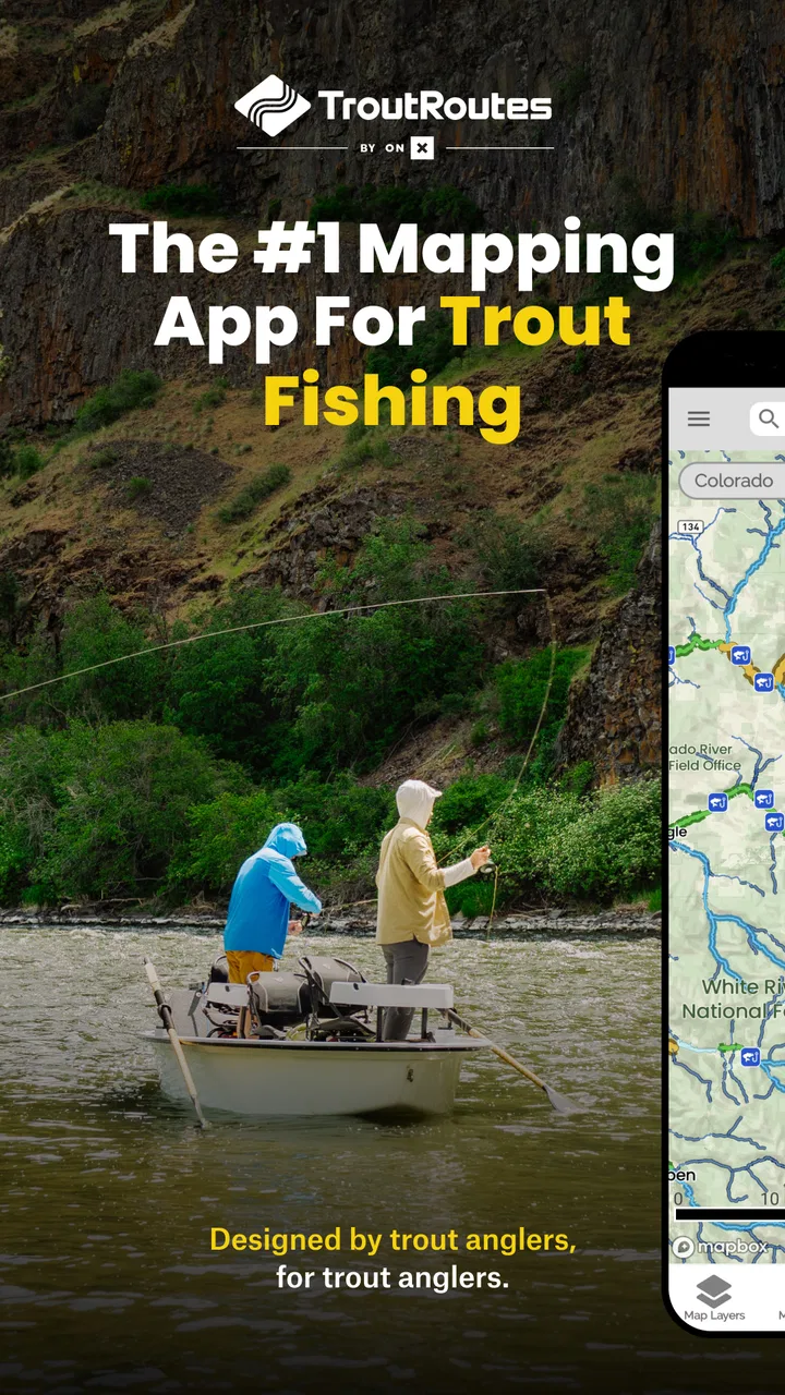
I found TroutRoutes most useful when I stopped treating it like a general-purpose road map and started using it as a planning tool for trout water. The app is built for anglers who want to identify streams, compare nearby fishing possibilities, and prepare a trip before leaving home. Its focus is narrow, but that focus is exactly what makes it more practical than a normal navigation app when the question is not “How do I reach this town?” but “Which trout stream should I investigate next?”
Developed by onXmaps, this free Maps & Navigation app combines fishing-oriented map information with details such as flow rates and local trout spots. It is available for Everyone, runs on Android versions from 8.0 onward, and its current version is 5.9.0. I would describe it as a specialist reference tool rather than a complete replacement for a road-navigation app, a fishing report, or local knowledge. Used alongside those resources, it can make the first stage of planning much less random.
How TroutRoutes fits into a shared fishing day
The most convincing household use case is a shared phone or tablet during trip planning. Imagine two people at the kitchen table on a Friday evening: one wants a short morning outing, while the other is hoping to explore unfamiliar water. Instead of opening a general map and searching stream names one by one, TroutRoutes gives the conversation a fishing-specific starting point. You can look at possible trout streams, consider their position, and discuss whether a location is realistic before anyone packs waders or drives out.
You May Also Like

 Blood Strike: 2.5 Anniversary
Blood Strike’s Loadouts Turn Every Drop Into a Tactical Gamble
A close look at Blood Strike’s custom loadouts: how fast access to signature weapons reshapes its battle royale rhythm, rewards preparation, and narrows the gap between fights.

 Pandora - Music & Podcasts
Pandora’s Music Is Easy to Start, but Harder to Recover
Pandora’s strength is its low-effort path from a seed to a station. Its weak spot is how much confidence it asks you to place in connection, setup, and quiet recovery.

 8 Ball Pool
 Is Built on Rivalries, Rematches, and Routine
A close look at the rivalries, rematches, shared routines, and unanswered safety questions that turn a quick pool match into a persistent mobile community.

 Samsung Music
’s Quiet Strength Is Playing What You Already Own
Its reach comes less from spectacle than from dependable access to a personal library. That simplicity is both the app’s strongest retention engine and its ceiling.

 AccuWeather: Weather Radar
AccuWeather Review: A Quick, Clear Forecast for Everyday Decisions
For everyday plans, the best forecast is the one you can understand quickly. AccuWeather makes rain timing, radar, and local conditions easy to act on, with a few trade-offs.

 Hill Climb Racing
Why Hill Climb Racing Still Turns Crashes Into One More Run
A tiny car, a bumpy hill and one more upgrade: Hill Climb Racing keeps resurfacing because its simple chaos makes every near-miss feel personal.
More From Our News Desk



That shared-screen approach also works well for a parent and older child, partners planning a weekend, or friends deciding between several nearby areas. The app does not need to be the only source of information. Its value is that it puts the fishing question first. A conventional map may show roads, parks, and waterways, but it usually makes you do the work of deciding which water is relevant. Here, the map is organized around the kind of place an angler is actually seeking.
I especially like this workflow for avoiding the “one famous spot” trap. A well-known stream can look appealing simply because it appears often in discussions, while a less familiar option may be more convenient for a short visit. By browsing the surrounding trout water first, I can compare possibilities before committing to a single destination. That does not guarantee better fishing, but it encourages a more thoughtful choice than driving toward the first result from a broad web search.
For a household, the practical benefit is coordination rather than account management. One person can explore the map while another checks travel time or local conditions elsewhere. If the device is passed around, I would keep the discussion focused on the same planned area and record any decisions outside the app if necessary. TroutRoutes is helpful for shared planning, but I would not assume that a shared device automatically creates separate personal spaces or family profiles.
What I would do before leaving home
My preferred routine is to begin with a broad look at the region rather than immediately zooming into a single stream. I use the map to identify clusters of trout water, then narrow the choices according to the length of the outing. For a quick morning, proximity and access matter more than collecting a long list of possibilities. For a full day, I can keep a primary area and a backup area in mind, which is useful when conditions or access make the first choice unattractive.
The flow information deserves careful attention. A flow rate can change how inviting or practical a stream is, but it is not a promise that the water will suit every angler on every day. I treat it as a decision aid: something that helps me ask whether the water may be unusually high, low, or worth checking more closely. I still want current local knowledge and sensible judgment before stepping into moving water. This is one of the app’s strongest planning details, provided it is read as context rather than a final verdict.
A useful habit is to compare the map view with the real shape of the outing. A stream may look close in a straight line while access requires a longer drive, a walk, or an approach from a different road. TroutRoutes helps me discover fishing locations, but I do not confuse a marked waterway with a guaranteed public entry point. That distinction is easy to miss when looking at a map, especially if several people are excited about a promising section.
I would also prepare a simple spoken plan for everyone using the device: the target area, the backup area, and the point at which the group will stop exploring and head home. This is not a special app feature; it is a better way to use a specialized map in a shared setting. The app supplies useful geographic and fishing context, while the people in the group remain responsible for access, safety, timing, and local rules.
Setup, subscriptions, and account boundaries
Getting started is straightforward in principle because the app is free to download. That makes it easy to test on a personal phone before deciding whether it deserves a permanent place in a household’s planning routine. The store listing also shows in-app purchases ranging from $9.99 to $58.99 per item, so I would examine the available paid options carefully rather than assuming every useful map layer or planning capability is included at no cost.
This is an important boundary for shared devices. If several people use the same phone, I would make sure everyone understands which actions may lead to a purchase screen and who is responsible for approving anything paid. A child using the app beside a parent should be guided through that distinction. The free entry point is convenient, but “free” does not mean every part of the experience has the same cost conditions.
I would also avoid treating one household login as a substitute for clearly agreed ownership. If the app becomes part of a regular fishing routine, the person responsible for the account should know which device is signed in and which family member is making changes. I am not describing a special family-control system here; I simply think ordinary account discipline matters more when a phone is passed between people.
On older devices, the minimum operating-system requirement is Android 8.0. That is helpful for households keeping an older spare phone for outdoor use, but compatibility is only the first question. A device used near water should have enough battery, readable screen brightness, and a reliable connection for whatever information the user needs at the time. I would test the complete setup before a remote trip instead of discovering a problem beside the stream.
The current version, 5.9.0, is a useful detail to check when troubleshooting. If one person sees behavior that another does not, I would first compare the installed version and device environment before blaming the map itself. A shared household setup is easier when one person handles updates and everyone knows which phone is the primary planning device.
Coordinating people around the map
TroutRoutes works best when it gives a group a common visual reference. Rather than describing a stream section from memory, I can show the general area and talk through the options with the people coming along. This is particularly useful when one angler prefers easy access and another is willing to walk farther. The map does not settle that disagreement, but it makes the trade-off visible.
For a realistic example, suppose I have a few hours between household responsibilities. I might open the app with a family member, locate nearby trout water, and compare a close option with a more ambitious one. The close option may win because it leaves more time for fishing instead of driving. If the first location looks unsuitable after checking current conditions or access information from another source, the second option is already part of the conversation. That small amount of preparation can prevent a rushed decision on the road.
Another useful approach is to divide responsibilities. One person can use TroutRoutes to investigate fishing locations and flow context, while another checks road conditions, opening hours where relevant, weather, and local regulations. This division prevents the app from being overloaded with tasks it was not designed to handle. Its strength is the fishing map perspective; general travel planning still belongs with broader tools.
I would be cautious about promising a group that a marked stream will produce a successful outing. The app helps answer “where might I look?” better than “what will happen when I arrive?” Water levels, access, seasonal restrictions, private property, and local conditions can all change the practical result. A good household plan leaves room for those uncertainties instead of presenting the app’s map as an authority on every field decision.
There is also a subtle benefit for less experienced anglers. A beginner may not know which stream names or regions to search for, while an experienced angler may already have a mental list. The map gives both people something concrete to discuss. That can make the planning process more inclusive, although the experienced person still needs to explain local etiquette and access expectations rather than assuming the app covers them.
Age, trust, and responsible use
Because the content rating is Everyone, the app is suitable for a broad audience in the ordinary store sense. That does not remove the need for adult judgment around outdoor use. A younger angler can help browse trout streams and learn how flow information affects planning, but an adult should remain responsible for transport, water safety, permissions, weather decisions, and whether a location is appropriate.
I would use the app as a teaching aid rather than handing over the entire decision. A child can choose between two realistic options, ask why one stream may be easier to approach, and learn that map information is only one part of a fishing plan. The adult can then verify the practical details. This creates trust through shared reasoning, not through pretending that a digital map eliminates risk.
The same principle applies between adults. If a partner or friend is less familiar with fishing maps, I would explain what the markers and flow details mean before asking them to lead the plan. A shared device can encourage collaboration, but it can also create confusion if one person assumes the other has checked access or conditions. Clear conversation is more valuable than silently passing the phone around.
Privacy and trust also matter in a less obvious way. A household should decide whether a personal phone is being used merely as a map or as the main record of trip planning. I would not leave important decisions dependent on one person’s screen without telling the group the destination and backup plan. If the phone is lost, damaged, or out of battery, everyone should still know the basic outline of the outing.
For families, I see TroutRoutes as a good conversation starter about responsible exploration. It can help children understand that finding a stream is different from having permission to fish it, and that a promising flow reading does not replace caution. Those lessons are more important than any single map result.
Where it beats ordinary map apps—and where it does not
Compared with a standard map app, TroutRoutes has a much clearer fishing purpose. A general map is excellent for driving directions, businesses, traffic, and broad geographic orientation, but it often makes trout-water discovery feel like detective work. This app reduces that first search step by putting trout streams and fishing-oriented information at the center.
That advantage becomes most noticeable when I am unfamiliar with an area. Instead of searching several variations of a stream name, I can begin with the fishing map and then move to a general navigation tool for the journey itself. The two apps serve different jobs. I would not replace my usual road-navigation app with TroutRoutes, because the specialist focus is also its limitation.
Compared with asking a local fly shop or experienced angler, the app is more convenient and available at any time, but it is less personal. Local advice can explain recent changes, etiquette, access nuances, and the character of a particular section in a way a map cannot. I see TroutRoutes as a way to arrive at better questions for local experts, not as a reason to ignore them.
Compared with a broad fishing report, its map-centered approach is more useful for discovering where water is located and how options relate spatially. A report may be better for current observations, techniques, or recent catches. Someone who wants detailed daily advice may need another source. Someone who mainly wants to identify trout streams and organize a route will likely appreciate this app more.
The trade-off is focus. If I only need turn-by-turn directions to a place I already know, installing a specialized fishing app may add little. If I want a complete fishing diary, a social community, or a universal outdoor navigation system, I would compare other tools before committing to paid features. TroutRoutes makes the most sense when trout-water discovery is the central problem.
Limitations I noticed in the overall experience
The first limitation is the gap between map information and field reality. A stream line can look clear on a screen while the actual outing depends on legal access, parking, terrain, weather, and water conditions. I would never use the app alone to make a safety-critical decision. Its information improves preparation, but it does not remove the need for verification.
The second is the possibility of overplanning. Because the app makes it easy to browse fishing locations, a group can spend too long comparing spots and too little time deciding. I get better results when I set a simple limit: choose one primary location and one fallback, then stop searching. The map should shorten the decision, not become the whole evening.
The third is the paid layer. A free download lowers the barrier to trying the service, but the range of in-app purchase prices means households should discuss spending before using it as a shared planning tool. I would test the free experience first and only pay when a specific feature solves a recurring problem for the people who actually fish.
Ratings offer a useful but imperfect signal. The app holds an average of 3.9 from 562 ratings, with 309 written reviews. I read that as evidence of a mixed but meaningful user response rather than a reason to dismiss it or trust it blindly. A specialist map can be extremely useful to the right angler while still frustrating someone expecting a full navigation suite.
Its reach is also still relatively modest at over 50,000 installs. That does not determine quality, but it does reinforce my view that this is a focused tool for a particular audience, not a universal household map. I would judge it by whether it helps my own fishing plans, not by expecting the breadth or polish of the most familiar navigation apps.
My household verdict
I recommend TroutRoutes for households that regularly plan trout-fishing trips and want a shared way to explore possible water. It is especially useful when the group is deciding between nearby streams, when one person knows the fishing goal but not the region, or when a family wants to involve a younger angler in planning without turning the app into an unsupervised decision-maker.
I would skip it if your needs stop at driving directions, if you rarely fish for trout, or if you expect one app to provide complete local advice, legal guidance, safety judgment, and turn-by-turn travel. In those cases, a general map or a trusted local source may be the better first choice. The specialist focus only pays off when you use it for the problem it is designed to address.
For my own use, the best routine is simple: browse the fishing area together, use flow information as a clue rather than a guarantee, verify access and current conditions elsewhere, agree on a primary and backup plan, and keep purchase decisions clear on any shared device. That workflow respects both the app’s strengths and its boundaries.
My final take is that TroutRoutes earns a place in a trout angler’s planning toolkit, not as the only tool. Its free starting point, Everyone rating, focused map design, and fishing-specific context make it approachable for shared household use. The experience becomes genuinely valuable when it helps people coordinate a realistic outing, ask better local questions, and arrive prepared without confusing a digital map with firsthand knowledge.
FAQs for TroutRoutes: Trout Fishing App
01What is the main purpose of the TroutRoutes app?
TroutRoutes is designed to be a comprehensive guide for trout fishing enthusiasts. It provides detailed maps, access points, and information on fishing spots across various regions. The app aims to enhance the fishing experience by offering valuable insights into stream access, regulations, and optimal fishing times.
02Does TroutRoutes work offline?
Yes, TroutRoutes offers offline capabilities. Users can download maps and access fishing spot details without an internet connection, making it ideal for remote fishing locations where network coverage may be limited. This feature ensures that anglers can rely on the app’s information even in areas with poor connectivity.
03Is TroutRoutes suitable for beginners in trout fishing?
Absolutely. TroutRoutes caters to both beginners and experienced anglers. The app provides detailed guides, tips, and instructional content to help newcomers understand trout fishing basics. Its user-friendly interface and comprehensive data make it an ideal tool for those just starting out in the world of trout fishing.
04Are there any subscription fees for using TroutRoutes?
TroutRoutes operates on a freemium model. While many features are free, there are premium options available that offer enhanced features such as advanced map layers, offline access, and additional fishing locations. Users can choose to subscribe to these premium features on a monthly or yearly basis.
05How often is the information in TroutRoutes updated?
The app is regularly updated to provide the most accurate and up-to-date information. TroutRoutes works closely with local fishing communities and experts to ensure that data on fishing spots, access points, and regulations are current. This ongoing update process helps maintain the app’s reliability and usefulness.
Pros
- Comprehensive mapping for fishing spots.
- Offline maps for remote areas.
- User-friendly interface.
- Regularly updated with new locations.
- Customizable route planning.
Cons
- Limited to trout fishing locations.
- Subscription required for full features.
- Occasional GPS inaccuracies.
- No social features for community sharing.
- Limited support for non-U.S. regions.

TroutRoutes: Trout Fishing App
Gallery